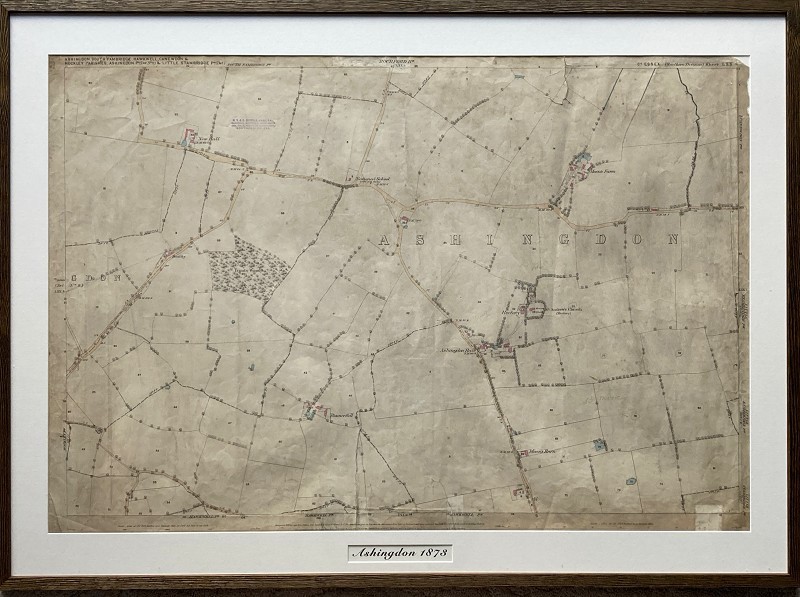
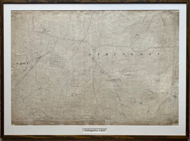
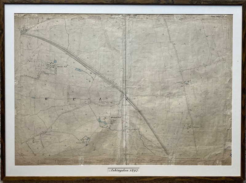
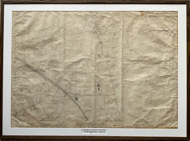
Historical survey maps of Ashingdon (courtesy of Roy Hilton & Sorrell's)
H. V. & G. Sorrell have undertaken the surveys of this area for many years. Roy Hilton has kindly donated some of these historical survey maps to Rochford Town Team.
There are 4 of Ashingdon, dated 1873, 1896, 1897 and 1923. The first two cover the area from Ashingdon School to St. Andrews Church and Moons Barn. The other two cover the area around Golden Cross and St. Mary's in Hawkwell.
They have now been framed and are each approximately 115cm x 84 cm. They can be either free standing on a table (using an attached back support) or can be hung on the wall.
Framing of these maps was funded by Rochford District Council and the UK Government using an allocation from the UK Shared Prosperity Fund.
Back to Memory Lane