This panel uses the Domesday Book entries from 1086 to show what life was like in the District in the 11thand 12thcenturies. The region around Rochford (known as Rochford Hundred) is listed in the Domesday Book as being the largest ‘Hundred’ in Essex. It was much larger than the current Rochford District, stretching from the River Crouch in the north to the River Thames in the south and including the current areas of Southend and Leigh. ‘Hundred’ is a Saxon administrative term for a measure of land.
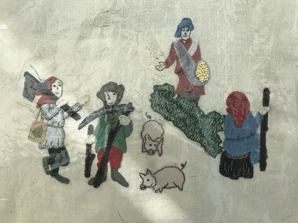
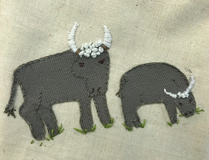
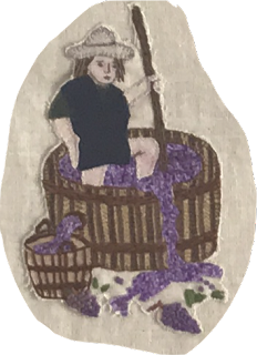
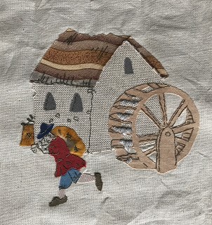
The Domesday Book was created for taxation purposes and is largely a list of productive resources across the kingdom. The drawings around the map on the tapestry panel show some of the productive resources mentioned in the manors which are now part of Rochford District’s modern parishes. These include cattle, pigs, sheep, horses, beehives, woodlands, fisheries, mills, deer, vineyards, crops and ploughing teams.
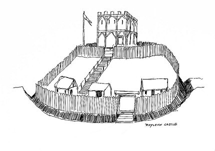
The ordinary people – ‘bordars’, ‘villeins’ and ‘serfs’, as they were called under the feudal system which was then in operation – are shown tilling the land, harvesting the grapes, building the boats, collecting the oysters and doing all the back-breaking manual work, while the landowners are shown top-left enjoying the fruits of the ordinary people’s labours. Bottom-left is Rayleigh Castle, which is expressly named in the Domesday Book and was an important strategic site. No one knows what the castle looked like, except it was a motte and bailey. We’ve represented the keep in typical Norman stone but it may have been timber.
Visit Open Domesday to view the original folios of the Domesday Book.
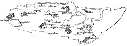
The map shows places within the current Rochford District that are mentioned in the Domesday Book, using the names that appear (in Latin) at the time. Below is a list showing how the names on the map equate to places in the modern parishes: